

3 min readMumbaiJul 13, 2026 02:21 PM IST
After days of relentless monsoon rains pounded Mumbai and wreaked havoc across the city, the financial capital is now reeling under a dry weather spell and soaring temperatures. The meteorologists have predicted no rains over the city and the extended Konkon region this week in the absence of an active system such as a cyclonic circulation. For Mumbai, July is the wettest month of the year when the city’s suburban station receives 919.9 mm of average rainfall, while the coastal Colaba observatory records 786 mm rainfall. However, the city is currently experiencing clear skies and climbing temperatures.
Data furnished by the India Meteorological Department (IMD) showed that between Sunday and Monday morning, 0 mm rainfall was recorded in the island city as well as western and eastern suburbs. During the same period, maximum temperatures hovered between 32-33 degrees at the Santacruz and Colaba observatories, which is over 2 degrees above the normal levels.
In its forecast bulletin, the IMD has indicated that no heavy rainfall in the region until at least the end of the week, due to the absence of active weather conditions.
Speaking to The Indian Express, Mahesh Palawat from Skymet Weather Services said that though the region is receiving dry westerly winds, there are no rain bearing systems to lift the moisture.
“At present, the monsoon surge has weakened. Even though the moisture is coming in there are no systems like cyclonic circulations, shear systems or trough to carry the moisture. Due to their absence, not only Mumbai but the entire country barring the east is very dry right now,” said Palawat.
Additionally, the region is devoid of heavy cloud cover which induces rainfall spells.
When will Mumbai see the next spell of rain?
According to Palawat, the region may experience an uptick in rain activity after July 17. “However, Mumbai may continue to experience only isolated rainfall and no significant showers even then,” he added.
Story continues below this ad
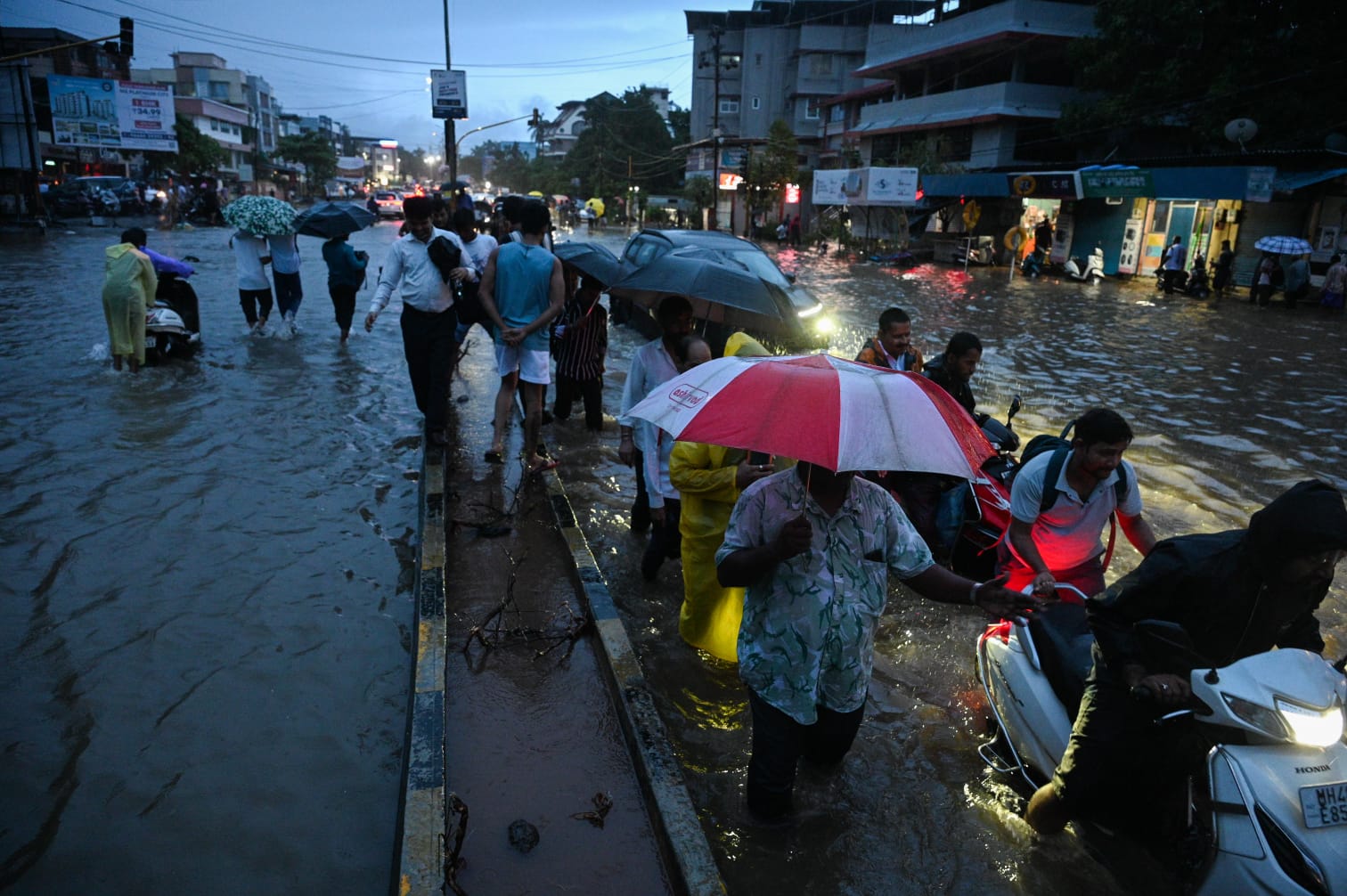
This is in sharp contrast to the week that went by when intense rains disrupted lives across the city. Between July 1 and 8, the Santacruz station exceeded 1,115.4 mm rainfall, accounting for nearly 47 percent of the region’s average monsoon quota. On an average, the suburban station records nearly 2,400 mm rainfall between June and September.
Why did Mumbai see above-normal rainfall in 8 days?
Meteorologists have said that the above normal rainfall showers in July were a result of at least four active weather systems, like east-west shear zone, cyclonic circulation and troughs, which remained stagnant for a prolonged period. Earlier in June, Mumbai had registered a deficit with the suburbs recording a negative departure of 25 percent from its actual average rainfall for the season.
Disclaimer: We do not own any of the content, ideas, images, or text presented here. All rights belong to their respective owners. For more information and to view the original source, please visit the following link: